GEOTEC Case Study Background
GEOTEC Surveys Limited were approached in February 2025 to complete a PAS128 Utility Mapping Survey at Recreation Withdean Sports Complex, which is run by Freedom Leisure, on behalf of Brighton and Hove City Council.
Between 1999 and 2011, the site was home to Brighton and Hove Albion Football Club, who used the athletics venue as a temporary ground, after leaving the Goldstone Ground via Priestfield Stadium in Gillingham and before moving to the new AMEX Stadium at Falmer.
Our survey was requested to aide in the design of several ongoing development and improvement projects, and in particular for the construction of a new community swimming pool.
Following discussions with the consultant, GEOTEC completed a site visit before submitting our quotation for the survey.
The visit was influential in understanding the site, its limitations and challenges.
This allowed us to identify key areas of interest, such as the UKPN substation on site, portions of the site that could not be surveyed, including the vegetated embankment between the sports complex building and the raised car park, and the relationship between the Sports Complex and The Sportsman Stonehouse Pub Restaurant.
Withdean Sports Complex (GEOTEC site visit photos)
In addition, we were able to evaluate how busy the car park was and therefore how many out-of-hours shifts would be required alongside normal daytime working hours, to complete the survey.
This was then communicated to the client, with clear direction on how GEOTEC proposed to carry out the survey and achieve optimal results.
GEOTEC Surveys Ltd were instructed to complete the survey on 27th March 2025. We submitted our risk assessment and method statement to the client and made subsequent arrangements with them and their representatives to commence site works.
OPERATIONS
Survey works began on the morning of Monday 14th April 2025 with the team reporting to reception on arrival, who were made aware of our site attendance by the local authority, beforehand.
The team were able to complete as much as they could in the 3x days that they were present, leaving areas which could not be surveyed during the day for the night shift, which took place on the evening of Thursday 17th April 2025. This mostly related to investigating manholes located beneath parked cars and collecting ground penetrating radar data in areas usually occupied by parked vehicles.
We used a 4 man survey team to collect all necessary data from site and produced our survey results 4 working days after site work concluded, either side of the Easter break.
SURVEY AREAS (RED LINE)
The team began by investigating manholes, inspection chambers, gullies and valves, where they would trace any metallic and conductive services using Radio Frequency.
We were also provided with a 3D topographical survey from the client, that we were able to overlay our survey results onto, to GPS, using the OSGB36 coordinate system.
The specification also requested survey results to be provided in 3D, with a Z value provided to each service so that detected services were shown at their corresponding depths in the model space.
GEOTEC Survey Results
The survey identified several services running through the site, comprising electric from the substation (shown below), gas, water, telecoms and drainage.
Extract of GEOTEC Survey Results (substation end)
Many of these services were traced from the 65 manhole covers present, which the survey team investigated as part of the survey.
There were a few services entering / existing The Sportsman, including water, power and telecoms, as well as drainage.
Extract of GEOTEC Survey Results (Sportsman)
The survey also detected various unidentified ground penetrating radar (GPR) targets, shown in turquoise below.

The 3D line-types used are slightly different to those used for 2D surveys, and the following shows a representation of the results in 3D:

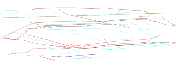
The level of the site changes significantly as it is located on a hill, which is evident when reviewing the survey results in 3D.
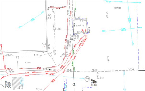
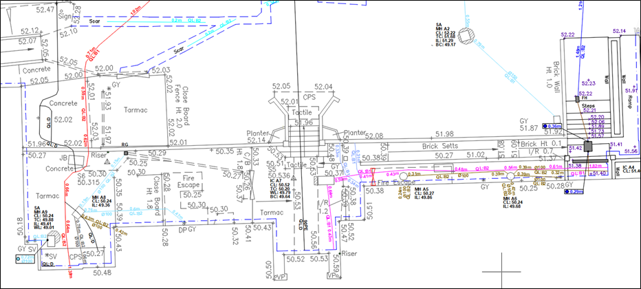
Our survey results were submitted in AutoCAD DWG and PDF outputs and included a full statutory undertakers record report for the site (PAS128 Type D) together with a comprehensive manhole schedule.
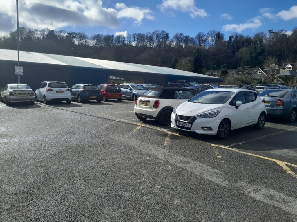
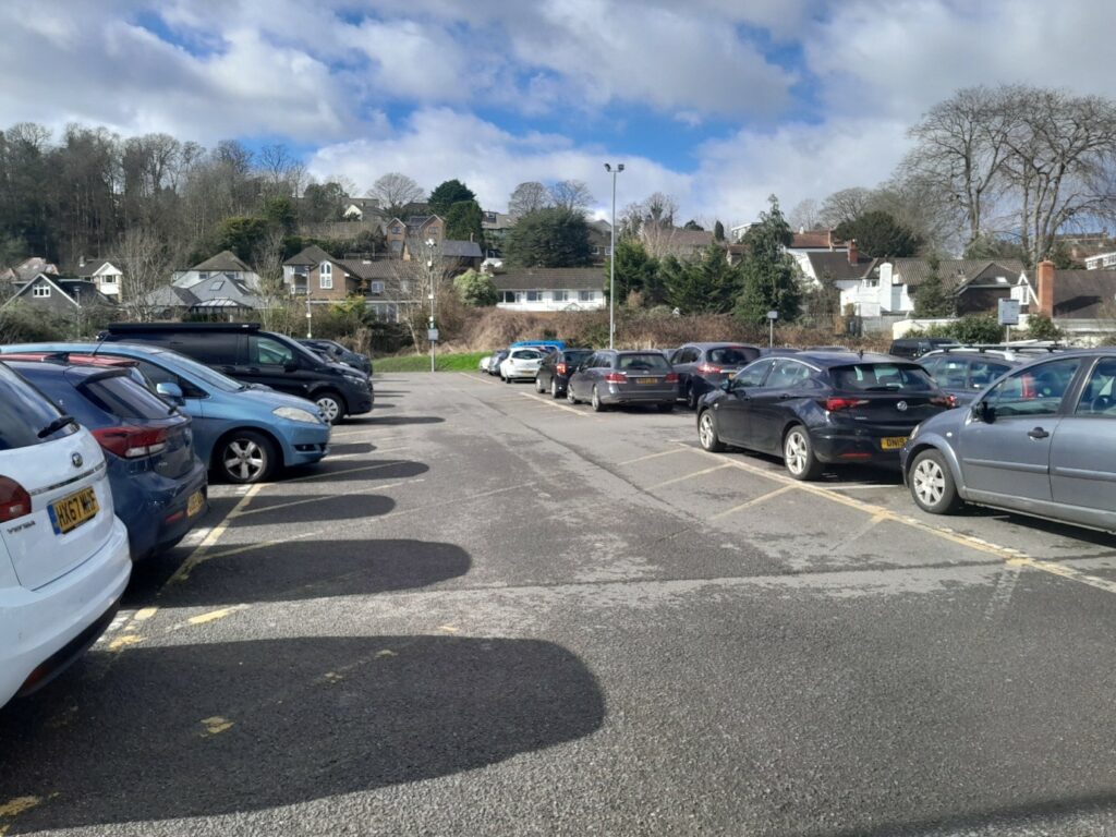
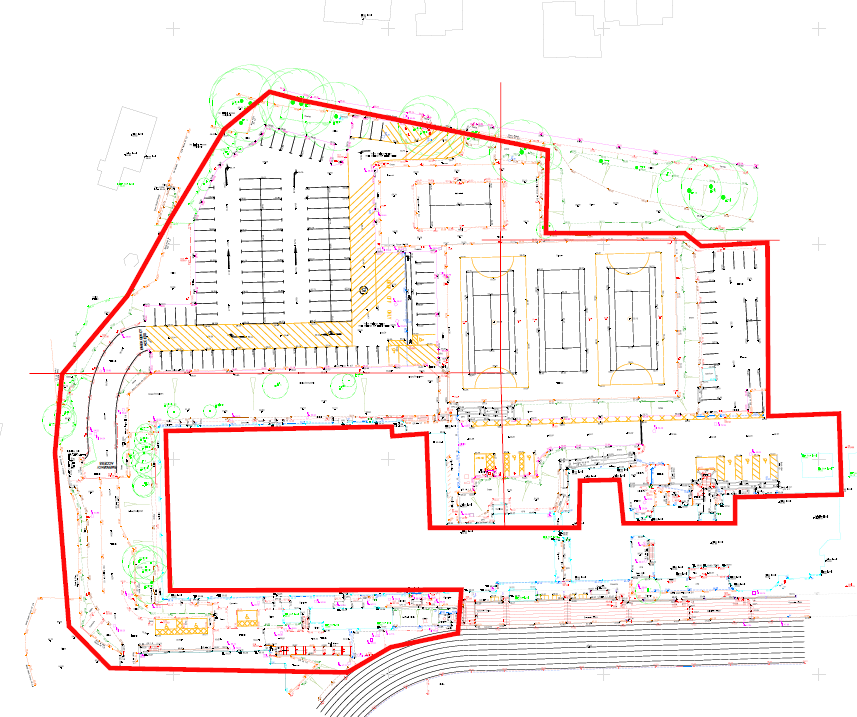
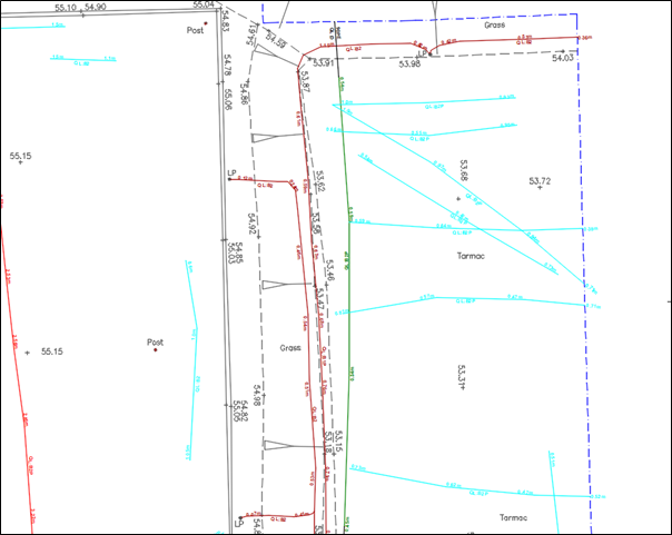
We were also asked to return to the site to complete survey works in relation to a proposed car parking section, in the south west corner, shown below:

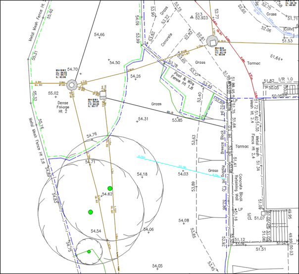
This area had to be cleared of extensive vegetation before our return to the site and included 2x significant foul water manholes.
This data can be used by the client and their designers to create solutions that work around the existing buried infrastructure or identify where services need to be diverted or enhanced for additional capacity.
+44 (0)1428 686 168
enq@geotecsurveys.com
