
3D Topographical Surveys
3D Topographical Surveys
3D Topographical Surveys are completed in conjunction with Underground Mapping Surveys.
Geotec Surveys also produces topographical survey results in 3D, including the same level of detail as we would for 2D topographical surveys.
Please let Geotec know which level of specification is required, as results can be provided as 3D levels (Z references), 3D polylines (the standard output), or fully rendered results, which may also require the use of a 3D laser scanner.
The 3D Topographical Surveys are completed in conjunction with our Underground Mapping Surveys.
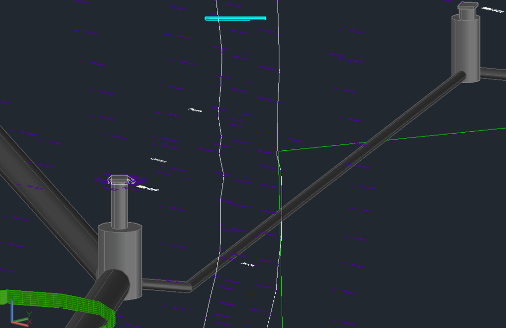
See the example below of 3D spots and 3D Underground Mapping Survey.
Want to know more about 3D Topographical Surveys?
Underground
Mapping
An example of a survey where Geotec have several unidentified ground penetrating radar targets present, as well as confirmed buried services and utilities.
This tool also allows Geotec to confirm the presence of metallic and conductive services that have already been detected through radio frequency detection / electro-magnetic locating (RFD / EML).
2D Topographical Surveys
3D Underground Mapping
3D Laser Scanning
Talk to Geotec


Follow Online
© GEOTEC SURVEYS – UNDERGROUND MAPPING


Website designed and produced by expect more – part of snap-marketing.co.uk
Website designed and produced by
expect-more.co.uk