
Geotecs’ office-based staff have a combined 35 years of experience and can assist you in identifying the best survey method or methods to detect, map and provide additional detail in regard to several subsurface unknowns, anomalies, hazards and concerns.
Geotec Surveys detect a wide range of subsurface features, including buried services & utilities (to PAS 128), voids, obstructions and other anomalies to assist our clients in problem solving, planning, design, and meet health & safety.
Using a range of different tools and techniques, including radio frequency detection and a variety of Ground Penetrating Radar configurations, as well as Geophysical tools, all designed to meet bespoke objectives:
- Radio Frequency Detection (using Electromagnetics) for buried services and utilities.
- Elementary CCTV Surveying for drainage.
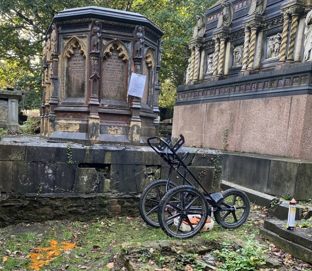
- Ground Penetrating Radar
- Shallow Penetration, high resolution antenna for concrete / rebar scanning or shallow applications, ideal for internal applications such as walls or ceilings.
- Vehicle mounted ground penetrating radar for large, flat, open sites or roads.
- Compact GPR solutions for working in constrained and internal spaces.
- Duel 250 & 800MHz GPR antennae for high resolution shallow and deeper requirements, ideal for detecting multiple features across the same site.
- Hyperstacking, digital 350MHz GPR antenna for penetrating to depths of 3m below the ground surface, ideal for buried services and utility detection.
- 100MHz GPR antenna for deeper penetration (between 2m and 6m below the ground surface) for specific, larger targets or features.
- 900MHz GPR antenna for shallower applications (to a depth of 1m below the ground surface) for smaller, shallower targets or walls.
GPR can detect buried services and utilities, voids, unconsolidated ground, saturated ground, subsurface obstructions such as foundations, pile caps, building lines, and buried tanks.
- Geophysical Applications such as Electromagnetic CMD or EM31 Surveying for voiding, tunnels cavities, landfill, archaeological features, dissolution features and mineshafts up to depths of 7m below the ground surface.
If Geotec are unable to support you, then they have a network of contacts whom they can refer your enquiry to, including specialist CCTV surveyors, ground investigation companies (GI), specialists in leak detection and other similar organisations.
Get In Touch today to see how Geotec can assist you.


