
On 15th December 2023, GEOTEC celebrated our 25th Birthday!
GEOTEC was Incorporated in 1998 by Nigel Knowles, a GPR & utility mapping equipment salesman, and Brian Payne, an Underground Mapping and GPR Surveyor – they were pioneers in offering manufacturer-independent Utility, GPR, and Geophysical Surveys, nationwide.
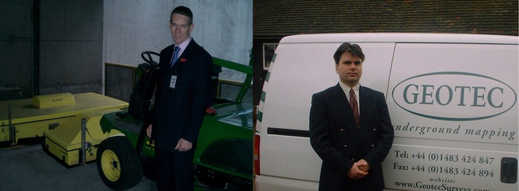
Originally based in Cranleigh in Surrey and Killyleagh in Northern Ireland, the innovators also opened offices in Doncaster and Barnsley, and over the years, GEOTEC Surveys have also worked internationally in Saudi Arabia, Belgium, France and Germany.
GEOTEC has always focused on offering clients the most comprehensive Underground Mapping Surveys on the market and will continue to do so moving forward.
This focus means that GEOTEC are experts in the industry, and have extensive experience in detecting and mapping subsurface features such as:
- buried services and utilities,
- voids, unconsolidated and saturated ground conditions,
- tanks and other such obstructions
- building lines, pile caps, foundations
- mineshafts, wells, air raid shelters, tunnels and cavities
- archaeological features such as Roman roads
Our manufacturer-independent approach allows us to choose the most appropriate and best tools available from Radio Frequency Detectors (EML), Ground Penetrating Radar (GPR), Geophysical Electromagnetic Conductivity Meters, and Resistivity pool.
Apart from Nigel and Brian, GEOTEC Surveys have been lucky to have had long-standing, knowledgeable, innovative, and progressive members of staff and management, some of whom are listed below:
- Neil Bristow
- Julian Sperling
- Carole Kitson
- David Todd
- Luke Hammond
- James Willard
- Andrew Black
- Thomas Skilleter
Now with Brian in sole Directorship, GEOTEC continues to progress, having seen many changes over the last 25 years, with equipment improving year on year, especially concerning Ground Penetrating Radar.
We can now use dual antennae, hand-held solutions, vehicle-mounted systems, multi-arrays, and cross-polarised antennae, allowing high-quality data collection in a variety of challenging environments more achievable than ever.
Data evaluation, especially about GPR data is unrecognisable, with specialist programs available to detect and map buried features in both 2D and 3D. Printing off reams and reams of radargrams on a miniature printer is a thing of the past.
The emergence of PAS128:2014 and updated PAS128:2022 providing guidance and standards for Utility Surveying have also pushed the industry on and surveys are more reliable and robust than they were before that.
Topographical Surveying has led the way into the digital age with fly-through models and 3D laser scanning supporting the data collection process.
GEOTEC has believed from the outset that the more data a client has at the beginning of a project and the better understanding that they have of what is in the ground from the start, results in a more informed design and ultimately acts as a solid foundation from which their development can blossom.
A primary aim in 1998 of GEOTEC Surveys Ltd was to inform the Construction Industry of “HSG47 Avoiding danger from underground services” and whilst service strikes still take place, their numbers have decreased significantly and the consequences on people’s lives are seen less often. That’s where it all started.
 +44 (0)1428 686 168
 enq@geotecsurveys.com


